SURF™ Technology for Mineral Exploration
3d Nuclear Magnetic Resonance Imaging of Underground Structures
We developed a technology and equipment to measure 3d nuclear magnetic resonance images of mineralization structures below the Earth surface. The imaging can go up to 500 meters deep using measurements made only from the surface. In addition to the 3d geometry, the mineralization types can also be distinguished and, as in examples below, displayed in different colors.
Example 1. A 45-degree mineralization plate exposed to the surface
Left: Elevation View
300 meters deep, computer generated 3d image horizontal projection based on surface measurements.
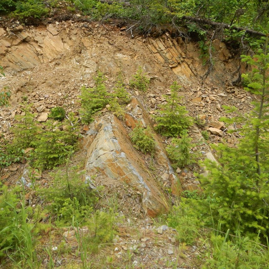
Right: Actual Vein Photo
Photo taken above the measurement area.
Example 2. Porphyry Copper Deposit, 500 meters depth
In this example, we investigated an area of about 1000 square kilometers. Surface overburden was represented by a 50 meters thick glacial til, making making surface grab, soil or chip sampling impossible. Random diamond drilling in tha area was also economically unjustifiable. We performed the surface measurements of the entire area with the equipment and located a zone of about 3x3 km with heavy porphyry mineralization.
The equipment recognizes in total 9 different mineralization types. A group of 3 types is shown.
The next two images are showing 2 other mineralization types, of the same deposit and projected from the same 3d image.